Oh-hyeon's Swiss Guide 
A disclaimer first: this is just my personal take, treat it as suggestions and do whatever you want. I’m not responsible for anything.
You decided to travel to Switzerland, so I’ll assume you expect beautiful nature. First of all, come in summer (mid-July to early September), unless you’re visiting in winter (December to March) for skiing. Thanks to (?) climate change, this year’s spring (April 2026) has been very sunny and beautiful, but it’s usually quite rainy in spring and autumn.
My preferred way of traveling in Switzerland is to take public transportation  on a sunny day
  and then go for a hike
  .
.
- Public transportation in Switzerland is more than just great. You can get almost anywhere, and most of the time, it’s on time. Google Maps works fine, but the SBB app is better.
- Mountain weather
 changes quickly, so check MeteoSwiss or MeteoBlue.
 - There are also many nationally maintained hiking trails
 , check them out on the SwitzerlandMobility app.
Must-have Apps
 Public transportation: SBB
 Official hiking paths: Switzerland Mobility
Hiking rules
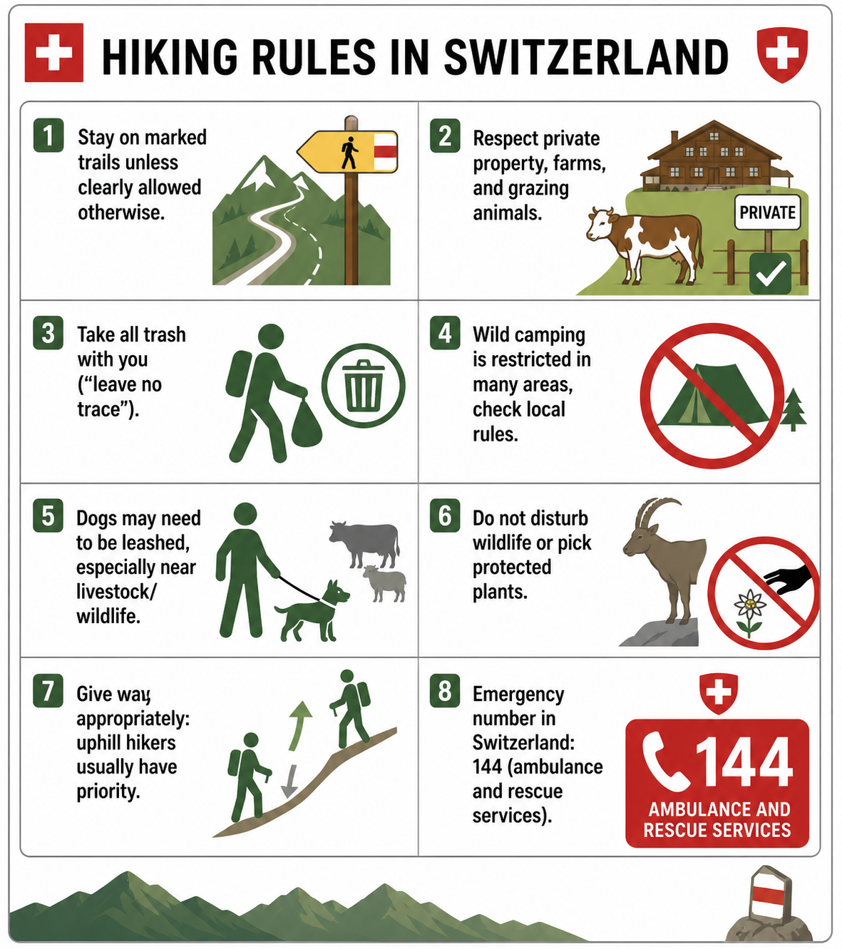
Photo credit ChatGPT, generated on 1st May 2026
More
- Stay on marked trails unless clearly allowed otherwise.
- Respect private property, farms, and grazing animals.
- Take all trash with you (“leave no trace”).
- Wild camping is restricted in many areas, check local rules.
- Dogs may need to be leashed, especially near livestock/wildlife.
- Do not disturb wildlife or pick protected plants.
- Give way appropriately: uphill hikers usually have priority.
- Emergency number in Switzerland: 144 (ambulance and rescue services).
How to pick a hiking trail
There are hiking trails in almost every spot in Switzerland. Here are some signs you will see, and more in details:
| Sign | Difficulty | Notes |
|---|---|---|
Yellow diamond  |
Easy | Mostly family-friendly |
White-red-white strap  |
Intermediate | Some exposed sections |
White-blue-white strap  |
Alpine | Self-securing gear may be needed; hike at your own risk |
| No marking (off-road) | — | Avoid |
Photo credit, and more: link
Let's say, you visited the top of Europe, Junfraujoch, spent a fortune, and now want to do a hike nearby. Here’s how to check whether a trail is suitable:
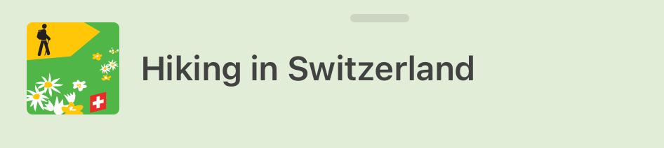
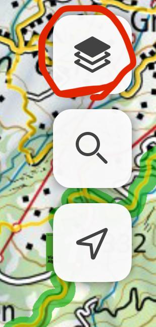
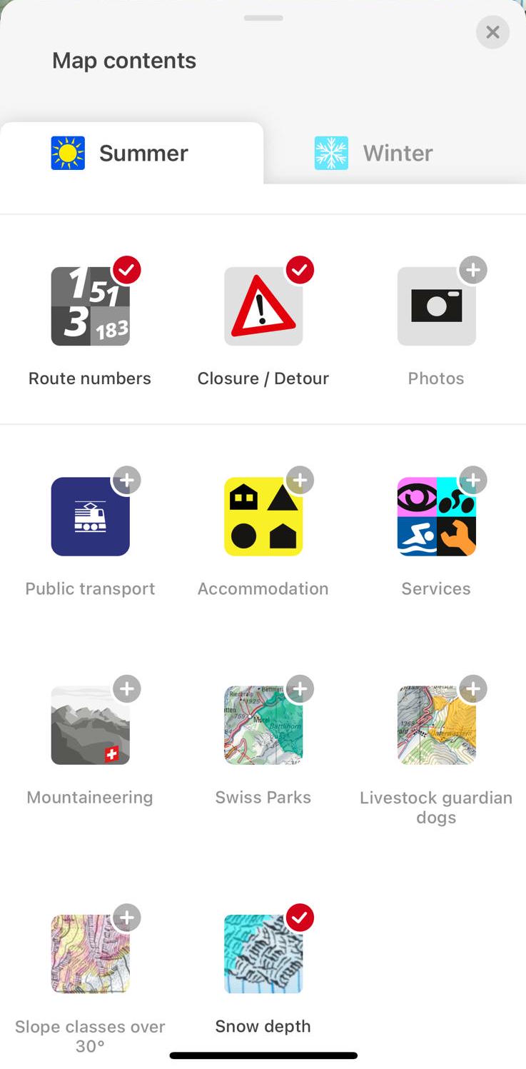
- Open the Switzerland Mobility app, and select the
Hiking in Switzerlandtab.
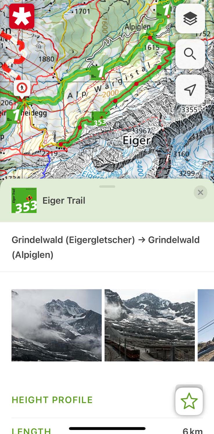
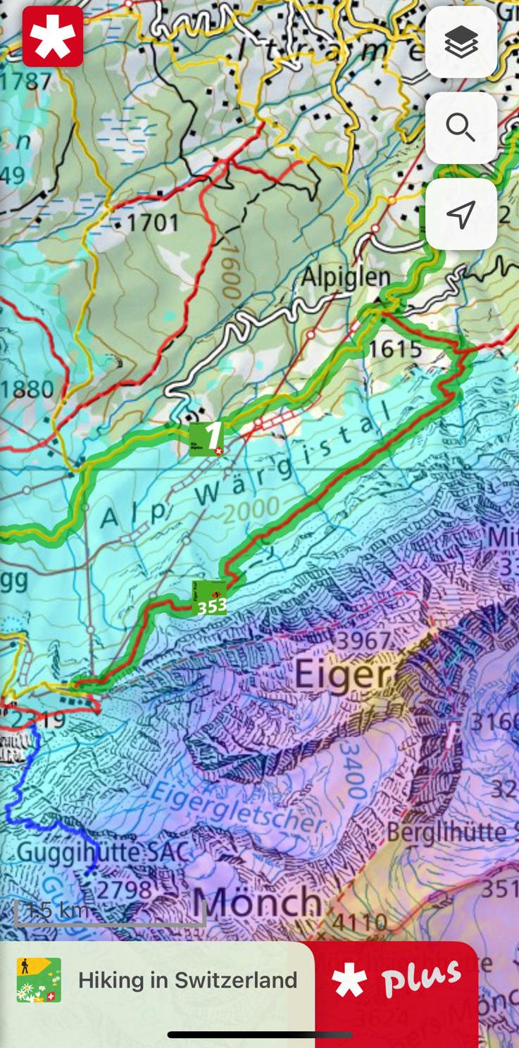
Please keep in mind that snow line could be around 2000m even in mid July  .
.